from 1 review
8 Days 7 Nights
Specific Tour
15 people
___
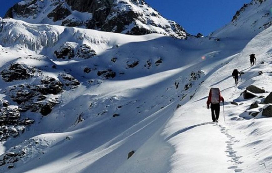
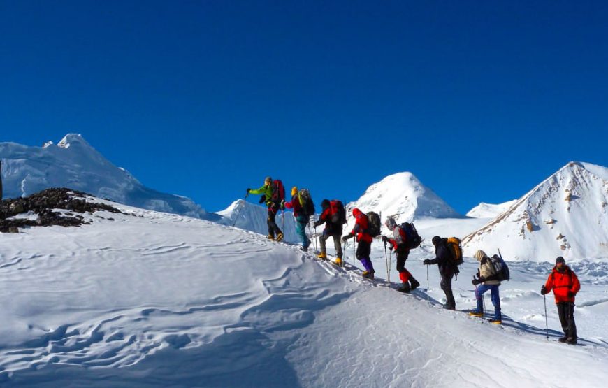

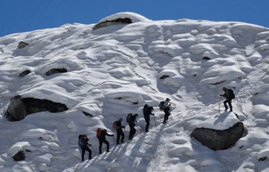
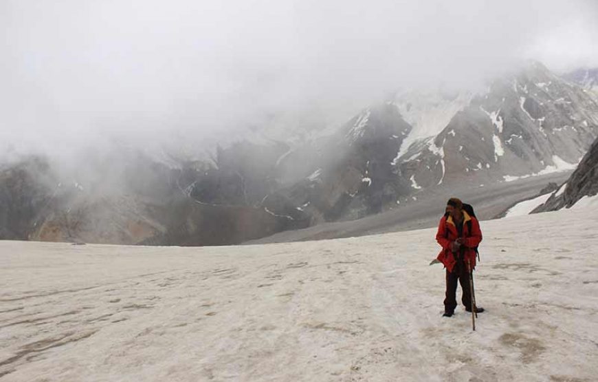
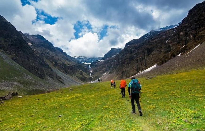
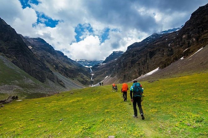
The Borasu pass lies at a high altitude of 17880 ft.Borasu Pass trek is a unique experience for all adventure lovers. Borasu Pass acts as a connecting passage between the Himalayas of Himachal Pradesh and Uttarakhand, which is one of the reasons why trekkers are so attracted to this trek! The pass also connects Tons and Baspa Rivers which is a beautiful sight. Uttarakhand and Himachal Pradesh are the major destinations in India if you want to get close to the Himalayas. If you are in love with adventure and ready to take the challenge then Borasu Pass Trek is a perfect trek for you. It will be a fascinating journey to take the ancient trade route between Har Ki Doon and Kinnaur Valley. Trekking in Uttarakhand will offer you a breathtaking diversity of landscapes and the trek is the perfect blend of lush meadows, vibrant alpine flowers and snow covered fields. The trek starts from Chitkul, said to be the last village in Himachal Pradesh on the Indo-Tibetan border. It will take you through lush Har Ki Doon Valley and the glaciers of Zupica Glacier and Morinda Tal. The stunning vistas of snow-capped mountains will fill your soul with happiness. The fresh mountain air, the snowy peaks and the verdant valleys will comfort your soul. Know more about other popular options for Trekking in Himachal Pradesh
Before heading towards the itinerary, it is really essential to perceive the reason behind choosing Bali pass trek.
See firstly, the trekking distance is a total of by taxi 221 Km and on foot 64 km which is to be covered into 8 days. . Dehradun to via Har Ki Dun To Chitkul market
Through the Yamuna and Tons valleys across the Yamuna bridge, Nainbagh, Nowgaon, Purola, Jarmola (Jarmola is one of the biggest and most beautiful pine forests in Asia), Mori and Netwar. Trek to a tiny market in Sankri, a few wooden huts serve simple yet delicious food. Dinner and overnight stay at the camp.
After have breakfast start trek beautiful forest on the way and look like animals thrive in this region. One can spot langoor families near Puani Garaat. Black bears, wild boars and Barasingha are few of the other animals you can spot if you’re lucky. Golden eagles and massive Himalayan griffins also live here. The colourful Himalayan monal, the state bird of Uttarakhand, thrives in the forests here.
There is a four-wheel-drive road that connects Sankri with Taluka. You can hire a jeep (locally) for this, subject to the condition of the road. This is a landslide prone-route, and is often closed during the monsoons. The trail to Taluka is almost level, going through 10-11 mountain bends. On the way, there are three big streams, almost submerging sections of the road in water. The hike is scenic, going past a series of wild roses and irises; bamboo, chestnut and cedar (deodar) trees.
Breakfast at the Camp then Trek 11 kms for Harkidun 6/7 hrs. the walk meadows at the near Harkidun Gad with the water Cascading around boulders There is a sturdy wooden bridge which you cross and a short climb bridge you to a nice camping place if you want to pitch your tent or walk another camp near River side view. At evening walk around the Harkidun
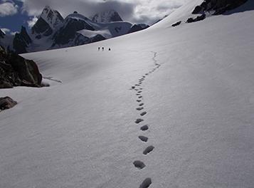
Morning Breakfast at the Camp then Trek Start 7 kms for Rata do 4/ 5hrs. the walk meadows at the near Manida Tal with the water Cascading around boulders There is a sturdy wooden bridge which you cross and a short climb bridge you to a nice camping place if you want to pitch your tent or walk another camp near River side view. At evening walk around the Dinner & overnight at the camp Rata do.

High Altitude but very gradual trek by the Ratado Glacier side to reach the Sauni Bheda.
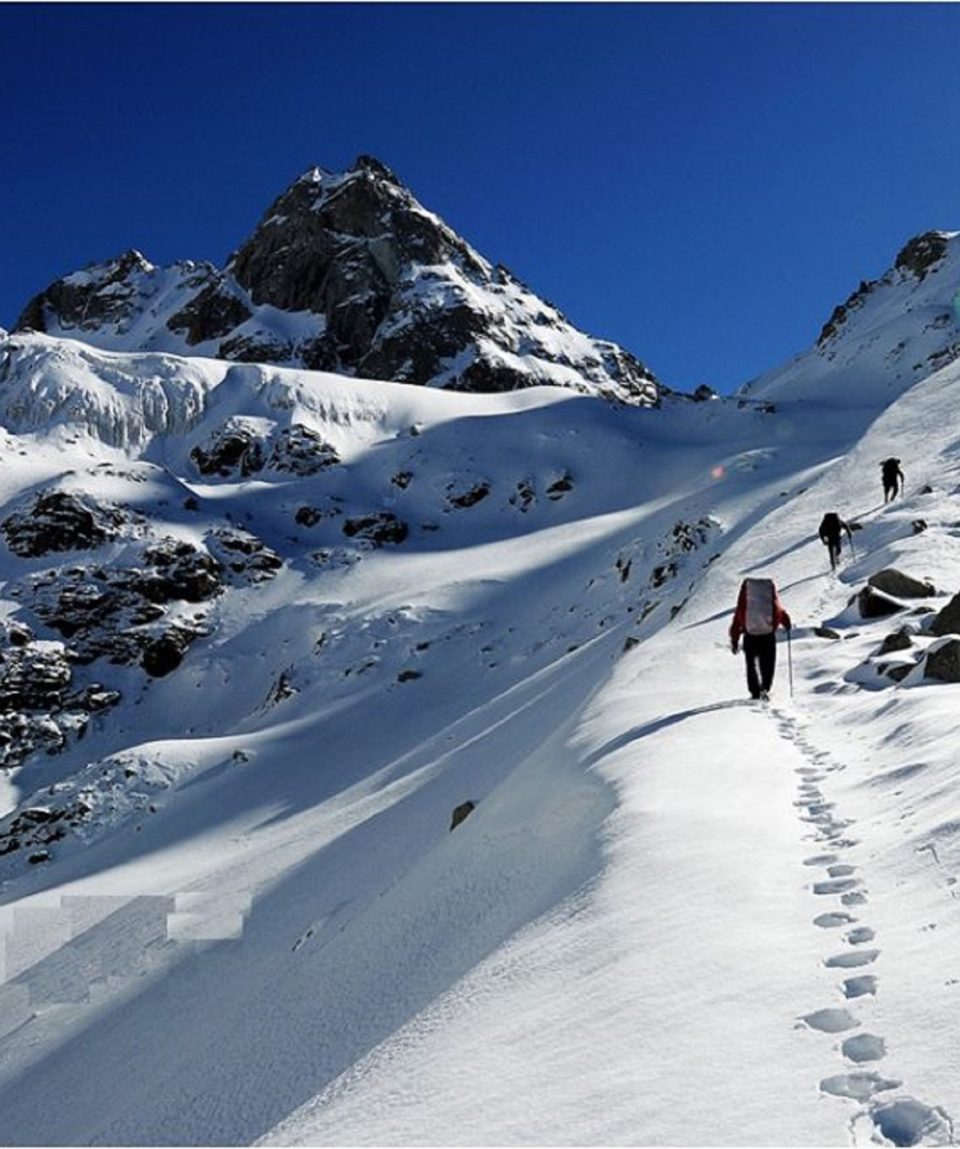
Waiting for this beautiful Morning. Today you can get up late in the morning at 7:30 – 8:00 A.M, you need rest. Because tomorrow is going to be your big day, so you need Yoga and Meditation. As usual, you will get tea or hot breakfast. After having breakfast you have to plan tomorrow’s trek with Rockclimber guide and team.

Today descends to is a long day trek and you need to start early morning. Have your breakfast and start soon. Reaching Borasu Pass from Upper Lamjunga is about 13 km Head towards the borasu Pass, both of the Pass and Glacier are visible. There are big rocks on the way, and you have to pass through this section.
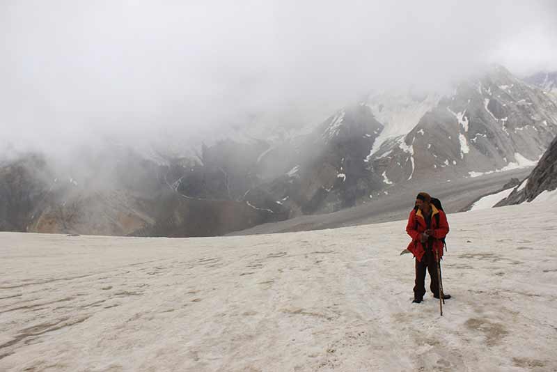
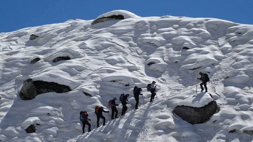
Use your ice axe to cut the thick snow and move further. Now, cross steep ridges and reach the left ridge and start ascending, it may take some hours as the climb is tough. Go further and the rocks there indicate towards the pass, after three hours you can reach Borasu Pass summit.
Reach there and encounter snow all over the White Mountain peaks, fields and glacier. Snow-covered mountains captivate everyone!
Now, Plan your descent and it is going to be difficult and steep, you will be needing ice axe, Rope, and with your guide, porters help to slide down the steep snow and ahead it becomes level. After some time of descending witness, frozen waterfalls and the ascent starts now, crosst it and get a glance at Bonga campsite.
Continue walking and after crossing a stream come across a green meadow, this is the campsite for today and from here beautiful Bonga peak is visible.
This campsite is extremely beautiful with green meadows around, crystal clear streams and view of snowy mountains, they all together make a picturesque sight.

Today last breakfast with team Himalayan Hikers – Bonga camp Today is the last day of Borasu Pass trek, the initial trail is full of loose rocks and beautiful view.
Take the trail which follows the stream, cross it and walk on the rocky terrain and further across several streams on the way.
Therefore, the trail becomes leveled and there are rocks kept together by shepherds as their settlement. Here, a clear stream flows in between of a meadow. Continue walking and witness abundant wildflowers and vegetables which are used by shepherds.
Trek through the dense forest, at the end of the forest trail,
Rani Kanda with the Beas River can be seen. Continue your descents and reach Rani Kanda.
Rest here for some-time and leave for Chitkul village, the trail is flat and well defined, you have to cross bridges to go further, continue your trek, cross a stream and reach Chitkul village.
Finally, there are wooden houses and grassy fields very friendly people, talk to the villagers and know about their lifestyle.
Irene